Join us in
Sherman County
There's something for everyone
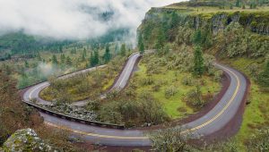
Drive, Ride, Float, Fly

From Fairs to Rodeos
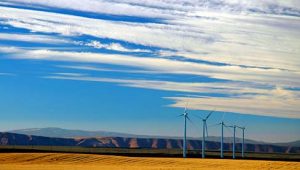
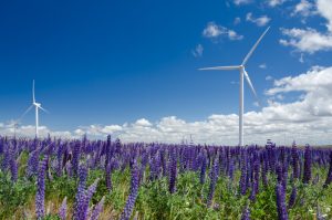
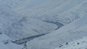
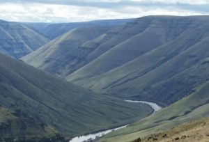
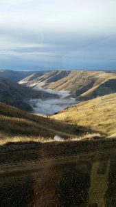
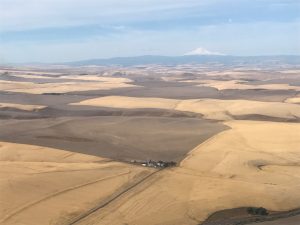
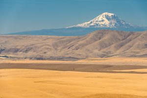
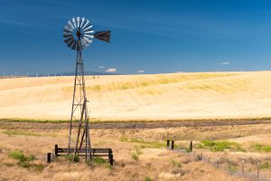
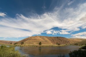
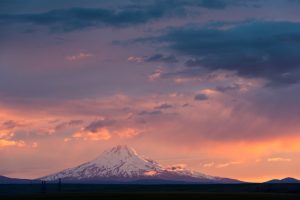
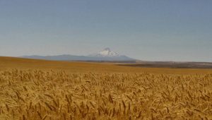
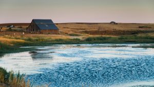
From Vistas to Plains
Oregon's Sherman County

Eat, Drink & Be Merry
Fishing & More

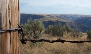
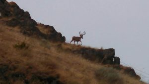
Wild Wild West
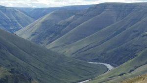
Rafting, Wind Surfing & More
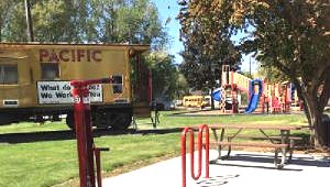
Bike Repair Stations, Restrooms, Picnic Areas, and More
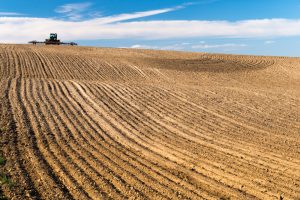
Find Your Own Home in Sherman County